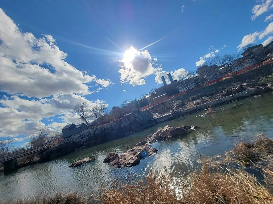
This Horizon article was written for a specific place in the app. Figures for a chosen location (heights, azimuths, atlas readings) are given as the app printed them.
Inside 20 miles the ground runs from 928 feet to 1,421 feet. Height changes the sun you get. The geometric dip of the sea horizon is about 1.76 arcminutes times the square root of height in meters, so at 1,417 feet a level horizon sits about 0.61° below the horizontal. The air column overhead is about 5% thinner than at sea level, which is why the same sun looks sharper and the blue goes deeper. Less air is a sharper sun and a deeper blue, and a little more of the short-wavelength light that a thick horizon path would have scattered away.
Today the sun rises at azimuth 104°, south of east, and sets at azimuth 256°, south of west. Through the year at this latitude the rising azimuth runs from 60° to 118°, and the setting azimuth from 242° to 300°. The sunrise box is the high ground whose view stays open across that whole rising fan, not simply the tallest cell and not only this morning’s azimuth. The sunset box is chosen the same way toward the west. Here they split, which is what a ridge does when one side faces the sun and the other faces a hill. A taller knob with a ridge in front of the sun loses. Heights are the Shuttle Radar Topography Mission 30 meter model, with named summits taken from the map, then tightened on the high ground.
Why the horizon moves
Stand higher and the Earth curves away under your eye. That drop is the dip of the horizon. The practical navigator’s rule, the one in Bowditch, is the sentence already used above: about 1.76 arcminutes times the square root of the height of the eye in meters. At 1,417 feet that is 0.61°. Near an equinox, at this latitude, the sun’s altitude changes by about 0.20° each minute, so the dip alone is on the order of 3 minutes of earlier sunrise and later sunset against a level rim. Refraction adds a second, older gift. Air bends the ray, and at the horizon the standard astronomical refraction is about 34 arcminutes, a little over 0.5°, even for someone standing on a beach. The Explanatory Supplement to the Astronomical Almanac treats that lift as part of the definition of sunrise: the upper limb, already raised by refraction, crossing the apparent horizon. Height stacks dip on top of that bend. A summit does not invent a new sun. It reveals the one that is already up.
A ridge spends the gift. If the land to the east stands 2° above level, the disc must climb those 2° before anyone on that side can see it. At the rate above, 1° of obstruction is several minutes. That is why the boxes are not a contest for the highest cell. The sunrise pin is the high ground whose eastern fan stays open from 60° to 118°. The sunset pin faces the same problem west. Farr and the Shuttle Radar Topography Mission mapped those heights at about 30 meters and published the method in Reviews of Geophysics in 2007. A taller knob with a hill in front of the sun loses to a lower ridge with a clear azimuth. Surveyors have known that longer than satellites have.
Stand higher and the Earth curves away under your eye.
The air you leave behind
You do not climb out of the ozone layer. The bulk of the ozone sits near 20 to 30 km, far above any summit a person can stand on. What a hill removes is the dense lower air: the troposphere’s aerosols, a share of its water vapor, and the molecules that scatter light. The column overhead thins roughly as an exponential, with a scale height of about 8.5 km, which is the figure this page uses.The air column overhead is about 5% thinner than at sea level, which is why the same sun looks sharper and the blue goes deeper. Rayleigh scattering, the reason the sky is blue, goes as 1 over the wavelength to the 4th power. Violet and ultraviolet are stripped by a long path much faster than red. That is why a sea-level sunset goes red, and why the same sun, seen from above the haze, stays whiter longer while the zenith goes a deeper blue.
When the sun is on the horizon the slant path is enormous. Kasten and Young, in Applied Optics in 1989, put the horizon air mass near 38 times the overhead path. Most of that slant still runs through the lowest, thickest air. Climbing a few hundred meters does not erase a sunset. It can lift you over the daytime boundary layer, the haze deck where a large share of the dimming actually sits. From above an inversion you look across cleaner air at a disc the valley is still seeing through smoke and dust. Less air is a sharper sun. It is also a bluer noon, because the short wavelengths that would have been scattered out of a thick path are still in the beam, and the ones scattered out of the beam overhead have a shorter trip in which to do it.
Why elevation changes vitamin D
Skin makes vitamin D in a narrow band of ultraviolet B, about 290 to 315 nm. The international action spectrum for previtamin D3, CIE 174:2006, peaks near 298 nm. Holick, MacLaughlin, Clark, and colleagues showed in Science in 1980 that a molecule already in the skin, 7-dehydrocholesterol, absorbs that light and opens into previtamin D3. Body heat then rearranges it into vitamin D3. In 1982 MacLaughlin, Anderson, and Holick showed that the spectrum of the sunlight decides the yield: the same UV that starts the previtamin can also isomerize it into compounds the body does not use as the vitamin. Webb, Kline, and Holick, in 1988, showed the seasonal gate. When the sun is too low, the path through ozone is so long that skin in Boston or Edmonton makes essentially no vitamin D from winter noon. Latitude is an air-mass story. Elevation is the same story, run the other way.
Blumthaler, Ambach, and Ellinger measured it. From 1981 they compared clear-sky daily totals at Jungfraujoch, 3,576 m, with Innsbruck, 577 m, and published the altitude effect in 1997. Total sunlight rose about 8% per 1,000 m. UVA rose about 9% per 1,000 m. Erythemal ultraviolet, the band that overlaps vitamin D, rose about 18% per 1,000 m in summer. Spectrometers between Garmisch-Partenkirchen at 730 m and the Wank at 1,730 m showed why the short end gains more: about 9% per 1,000 m at 370 nm, 11% at 320 nm, and 24% at 300 nm. The vitamin D wavelengths are the ones the lower air scatters and absorbs most fiercely, so they are the ones a summit gives back. The World Health Organization’s practical guide states the field rule as about 10% more UV per 1,000 m. That is a fair average across the spectrum, and a low estimate for the 300 nm light skin uses.
The gain is larger when the sun is low, which is the sungazing hour. Between Innsbruck and Hafelekar at 2,300 m, only 2.5 km apart horizontally, the same group found an erythemal altitude effect of 15.1% per 1,000 m when the sun was 60° up, and 18.6% per 1,000 m when it was only 20° up. A low sun travels a longer path through the very air a summit has left behind. The same clear day, the same skin, and the same minutes therefore start more previtamin D3 on the high ground than in the valley, and the difference is greatest near the horizon, not at noon. Height does not invent a new kind of light. It shortens the filter in front of the kind of light the skin already knows how to use. The UV index on this page is that filter, scored for the place you are standing. Climb, and the index for the same clock time runs higher.
Snow is the companion of high country, and it is a different lever. The WHO guide notes that fresh snow can reflect up to about 80% of UV, while green grass reflects about 2%. An open snowfield can nearly double what reaches the skin, from below as well as from the sky. Elevation thins the air. A bright ground returns the light. They often arrive on the same ridge, and they should not be confused.
Stars, sunset, and the haze under you
The night sky crosses the same air. Less column overhead means less extinction, so a star at the zenith is brighter from a high dry site than from a valley. Between sea level and a summit the change in a clear visual band is often on the order of 0.05 to 0.2 magnitudes per airmass once aerosols are low, which is real on a photometer and modest to the eye. Water vapor drops faster than the dry air as you climb, which is why infrared observatories are built at elevation. For a person looking at the Milky Way, inside 20 miles, the larger change is usually the haze and the lights, not the thin gain in extinction.
Artificial skyglow is light that went up and was scattered back down. Garstang’s 1986 model, and the world atlas of Falchi, Cinzano, Duriscoe, and colleagues in Science Advances in 2016, treat that scattering as a property of the air, especially aerosols in the lower atmosphere. Cinzano, Falchi, and Elvidge had already mapped the idea globally in 2001. Climb above the nighttime boundary layer and 2 things change. You look through less glowing haze. And a share of the city light is scattering below your eyes instead of in front of them. Distance still beats a small hill. Falchi’s atlas is why a dark field 15 miles out can beat a bright rooftop in town. Height is the tie-breaker inside a dark patch, and it is how you put the haze under you.
This page reads David Lorenz’s 2025 light-pollution atlas, a recalculation in the Cinzano line that uses more recent VIIRS night lights from the Earth Observation Group. It is a model of scattering, not a photograph of the sky, and it is the map cited as Lorenz 2025 in the later astronomical literature. Each step on that color bar is about 1.73 times the artificial light of the step below it. The sample is the native 1/40 of a degree. Where you stand is white — among the brightest city cores on the map. The star field, on the Star Field tab, is the darkest class inside 20 miles, and when a whole patch shares that class, the highest ground in it. The bright center of the Milky Way, in Sagittarius, stands highest in a dark sky around Apr 18, 2027, 5:29 AM, south, 26° up, azimuth 180°. That is the night to be at the star field, with the moon down. A low sun and a dark zenith are the same lesson told at 2 ends of the day. The path length is the subject. Elevation is how much of that path you are willing to leave below your feet.
Azimuth on the Star Field tab is degrees clockwise from true north. A fist at arm’s length is about 10°. Meteor dates are the instants the Sun reaches each shower’s standard solar longitude, so they walk a little each year instead of sticking to a recycled calendar. Planets, close pairs, eclipses, and a perigee full moon come from an ephemeris. A shower’s hourly rate is quoted at the zenith. Lower in the sky you see fewer, roughly with the sine of the radiant’s altitude.
Sources
- Bowditch. The American Practical Navigator. National Geospatial-Intelligence Agency. Dip of the sea horizon, about 1.76 arcminutes times the square root of height of eye in meters.
- Urban SE, Seidelmann PK, eds. Explanatory Supplement to the Astronomical Almanac. 3rd ed. University Science Books; 2013. Horizon refraction of about 34 arcminutes, and the definition of sunrise.
- Kasten F, Young AT. Revised optical air mass tables and approximation formula. Applied Optics. 1989;28:4735–4738.
- Blumthaler M, Ambach W, Ellinger R. Increase in solar UV radiation with altitude. Journal of Photochemistry and Photobiology B: Biology. 1997;39:130–134.
- World Health Organization, World Meteorological Organization, United Nations Environment Programme, and the International Commission on Non-Ionizing Radiation Protection. Global Solar UV Index: A Practical Guide. Geneva: WHO; 2002.
- Holick MF, MacLaughlin JA, Clark MB, et al. Photosynthesis of previtamin D3 in human skin and the physiologic consequences. Science. 1980;210:203–205.
- MacLaughlin JA, Anderson RR, Holick MF. Spectral character of sunlight modulates the photosynthesis of previtamin D3 and its photoisomers in human skin. Science. 1982;216:1001–1003.
- Webb AR, Kline L, Holick MF. Influence of season and latitude on the cutaneous synthesis of vitamin D3. Journal of Clinical Endocrinology and Metabolism. 1988;67:373–378.
- CIE 174:2006. Action spectrum for the production of previtamin D3 in human skin. Vienna: International Commission on Illumination.
- Farr TG, Rosen PA, Caro E, et al. The Shuttle Radar Topography Mission. Reviews of Geophysics. 2007;45:RG2004.
- Liou KN. An Introduction to Atmospheric Radiation. 2nd ed. Academic Press; 2002. Rayleigh scattering and the ozone profile.
- Garstang RH. Model for artificial night-sky illumination. Publications of the Astronomical Society of the Pacific. 1986;98:364–375.
- Cinzano P, Falchi F, Elvidge CD. The first World Atlas of the artificial night sky brightness. Monthly Notices of the Royal Astronomical Society. 2001;328:689–707.
- Falchi F, Cinzano P, Duriscoe D, et al. The new world atlas of artificial night sky brightness. Science Advances. 2016;2:e1600377.
- Lorenz D. Light Pollution Atlas. 2025. https://djlorenz.github.io/astronomy/lp/